06 Jan Access and Connectivity
We have two very distinct street patterns in the study area. The northern segment from SR 50 to Holden Avenue still maintains the historic grid pattern configuration of the 300 foot by 600 foot block. However, the street network and connectivity south of Holden Avenue changes drastically. The blocks are bigger, and the streets follow a suburban pattern.
Street grid system in the northern segment of the corridor
Accessibility to the area via the highway system
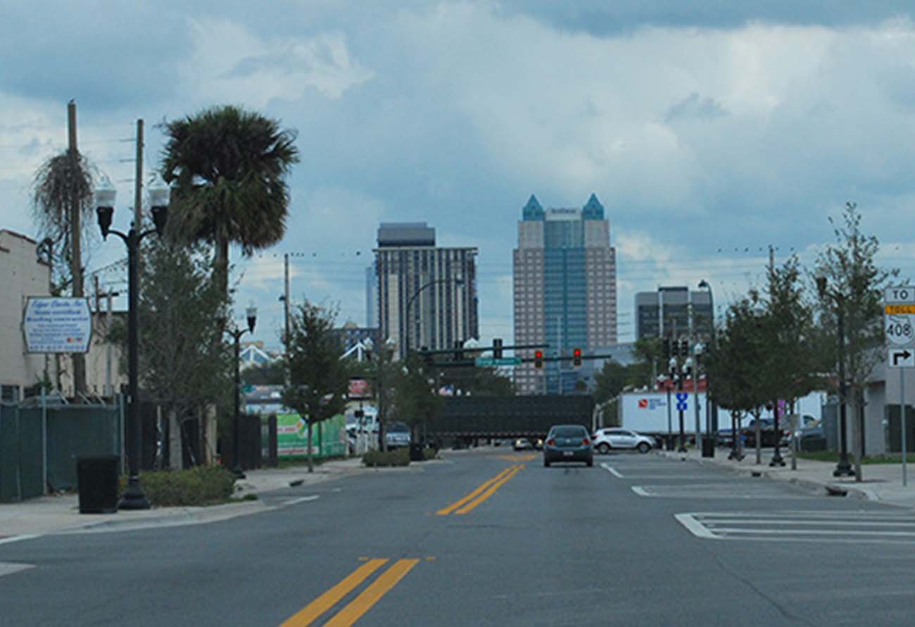
Proximity to Downtown Orlando and South Downtown
Proximity to regional destinations such as:
- Millenia Mall
- Convention Center
- International Drive
Proximity to Sunrail Stations
We have two very distinct street patterns in the study area. The northern segment from SR 50 to Holden Avenue still maintains the historic grid pattern configuration of the 300 foot by 600 foot block. However, the street network and connectivity south of Holden Avenue changes drastically. The blocks are bigger, and the streets follow a suburban pattern.
Community Streets are complete streets. They support vehicular, bike, and pedestrian connectivity, access to the local street network, and reinforce slow speed operation (25 mph not 35 mph) through streescape improvements and on-street parking where appropriate. These street will support a comprehensive bicycle network with protected bike lanes where appropriate. First roadway improvements should be focus in the Community Streets.
Partnerships with LYNX, MetroPlan Orlando, and other transportation agencies are key for future plans to improve connectivity, and to make streets more pedestrian, bicycle, and transit friendly. Those agencies have the potential to provide budget for studies, analysis and design for capital improvement projects, as well as implementation strategies.
Sorry, the comment form is closed at this time.